Premium Add-ons
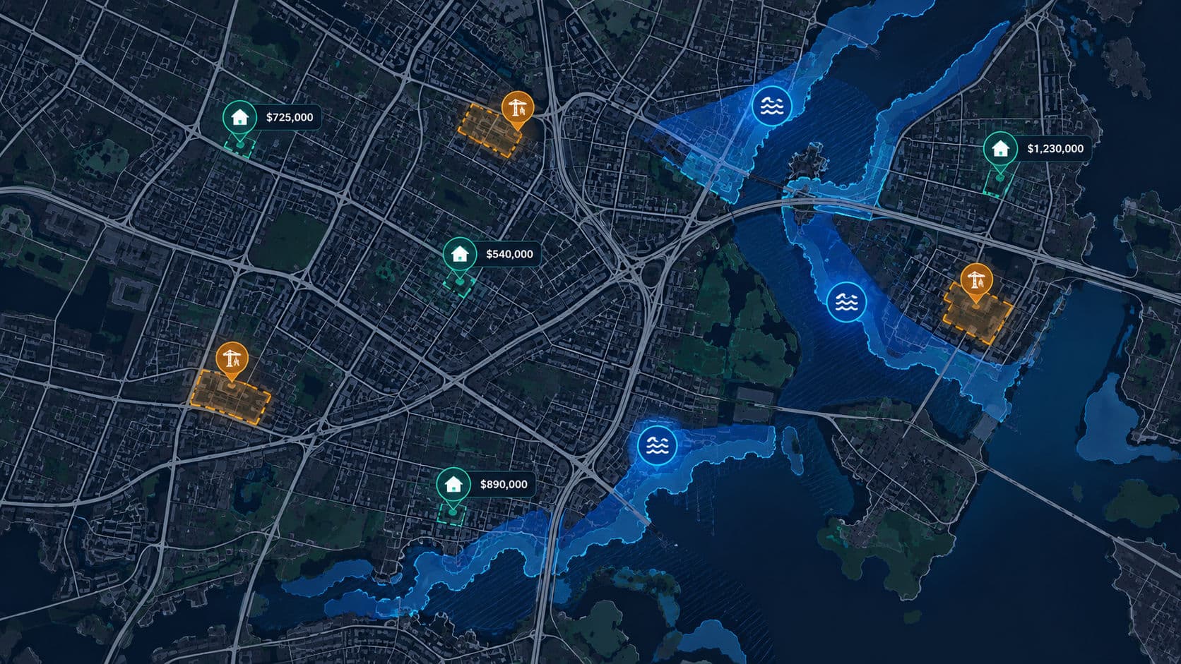
Explore additional data processing options that can extend the core datasets.
STANDARIZED ZONINGCONSTRUCTION PERMITPUBLIC ROAD ACCESSFLOOD RISKSPROPERTIES PRICESDATA PROVIDERDATA PROCESS METHOD
Premium add-on descriptions
- Name
- Standarized Zoning
- Processing method
- Spatial relationship based on standardized data, including plan names and links to resolutions, percentage and area-based overlap with the data, and indicators from the General Municipal Plan (POG)
- Description
- Spatial and descriptive information defining the planning regulations applicable to a property. This data integrates provisions from the Local Spatial Development Plan (MPZP), which constitutes local law, and the General Municipal Plan (POG)
- Advantage
- Enables more precise filtering of properties using urban planning indicators and spatial relationships for investment purposes
- Availability
- Available only in municipalities that have provided a complete digital version of their spatial planning data
- Data provider
- Individual local government units (municipalities) in Poland
- Name
- Building Permit
- Processing method
- Parcel ID-based relationship providing a collection of current and historical data on building permit applications and decisions issued for buildings and parcels within a property
- Description
- This information includes, among other things, decision reference numbers, issue dates, architectural and construction administration authorities, case statuses, and types of construction projects. It is often integrated with central public registers, such as the RWDZ maintained by the General Office of Building Control (GUNB)
- Advantage
- Allows immediate verification of whether existing buildings or their components have legally valid administrative decisions and whether any active proceedings are pending against them
- Availability
- Full coverage of Poland
- Data provider
- General Office of Building Control (GUNB)
- Name
- Public Road Access
- Processing method
- Technical spatial relationship measuring access to and distance from the public road network
- Description
- A spatial analysis module used to automatically verify the physical and spatial access of a property (parcel/building) to the public road network or calculate the minimum distance to the nearest public road
- Advantage
- Helps quickly identify properties without direct access to a public road, which can significantly affect their market value and the need to establish a necessary road easement
- Availability
- Full coverage of Poland
- Data provider
- Public roads from the BDOT10k dataset
- Name
- Flood Risk
- Processing method
- Spatial relationship based on standardized data, including flood extent and flood hazard level
- Description
- A collection of spatial data and indicators identifying the flood exposure of a property (parcel/building), integrated with official Flood Hazard Maps (MZP) within the National Security Information System (ISOK), published by the Polish Waters National Water Management Authority
- Advantage
- Quickly verifies whether a property is located in a flood-prone area, supporting insurance and lending risk assessments as well as checks on legal restrictions affecting land development
- Availability
- Full coverage of Poland
- Data provider
- Wody Polskie National Water Management Authority
- Name
- Real Estate Prices
- Processing method
- Spatial relationship based on standardized data, including transaction dates, locations, prices, and property purchase types
- Description
- A dataset of real estate sales transactions integrated with the official Rejestr Cen Nieruchomości Register (RCN), maintained by county offices based on notarial deeds
- Advantage
- Helps investors, developers, and financial institutions accurately assess project profitability and verify the adequacy of mortgage collateral
- Availability
- Available only in counties that have provided a complete digital version of the RCN
- Data provider
- Rejestr Cen Nieruchomości Register maintained by county offices in Poland